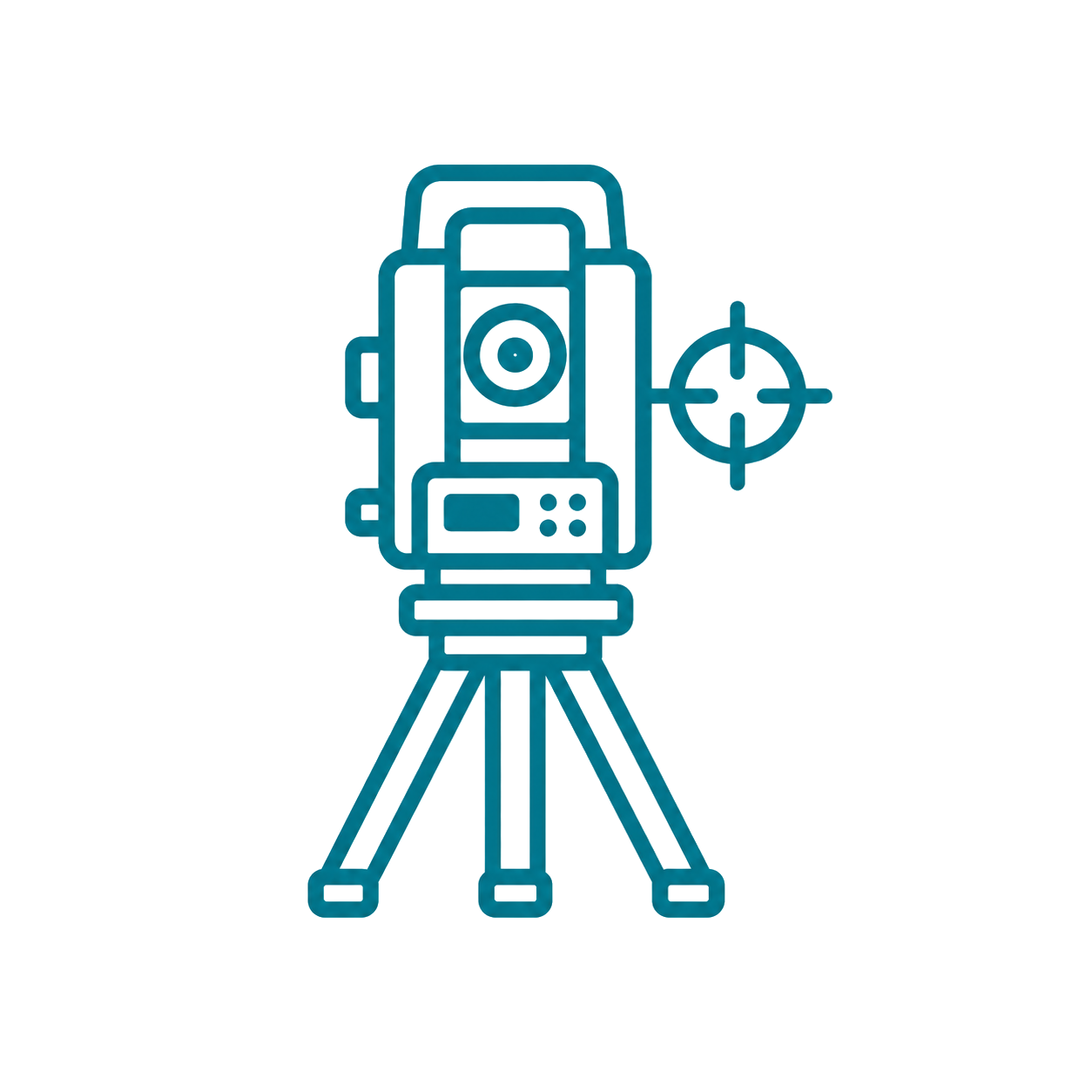

Map Scale from Known Distance Checker
A free, browser-based calculator. Runs entirely in your browser — no sign up, nothing stored.
Enter Values
How to use this calculator
- Measure a distance on the map (in millimetres) between two points you also know on the ground.
- Enter that map distance and the real ground distance in metres.
- Optionally enter the stated scale to check it; read the true scale as 1:X.
How it works
Scale is the ratio of map distance to ground distance in the same units, so 1:X means X = ground distance ÷ map distance (both in millimetres).
Comparing the result with the printed scale tells you whether a printout or PDF has been resized — a common cause of wrong scaling.
Worked example
84 mm on the map = 2100 m on the ground. X = 2,100,000 mm ÷ 84 mm = 25,000, so the map is 1:25,000. One centimetre then represents 250 m.
Tips
- Use the longest known distance you can for the measurement — it reduces the effect of small ruler errors.
Frequently asked questions
Why doesn't my map match its printed scale?
Printing 'fit to page', PDF zoom, photocopying or screen display all resize the image and change the true scale. Always verify against a known distance before scaling anything off a map.
Is this official course material?
No. It is free study support mapped to surveying course levels — not official North Metropolitan TAFE content or advice. Always follow your lecturer and the official assessment brief, and check your own working.
Related tools
Tip: Enter any known values to calculate the remaining results.
All calculations run in your browser. Your inputs are never saved or transmitted.